How can we streamline the exploration process?
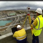
We use the latest GNSS receivers with high powered radios to provide extended survey coverage for surface exploration drilling programs
Conduct site surveys that indicate the locations of existing site infrastructure
Why use Land Surveys?
Expertise
Our highly qualified team consists of Licensed and Registered Surveyors, available to undertake lease and easement boundary pegging projects.
Innovative complete solution
Our high resolution (0.035m resolution) aerial imagery by UAV can be used for mapping and discovery of geological structures and outcrops.
For more information on our Exploration services, request a brochure or have one of our team members contact you.

